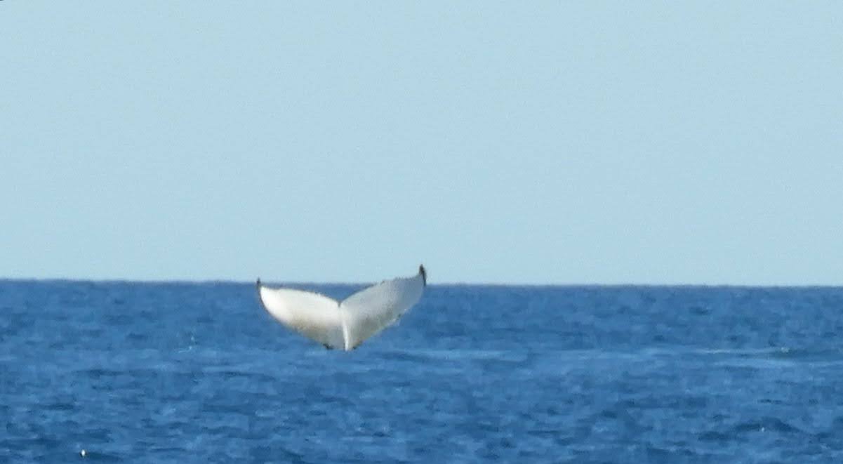
As many of you may know, we had intended to spend the summer cyclone
season based in Carnarvon. However as with all our sailing plans we are in the hands of mother nature and these are
really just an ‘idea’. We need to be
ready to roll with plan B, C or more.
 |
Our Abrolhos Island friend - read on!
|
The high tide we needed to get through the shifting sands that
guard the entrance to the lovely Fascine at Carnarvon happens in the middle of
the night at this time of the year. That, coupled with the news that the sands
seem to be closing the entrance and it is now even more shallow than when we
went through a few months earlier meant that our stay in Carnarvon would be
short. We wouldn’t be going into the shelter of the Fascine and Yacht Club for summer.
For the first time we took a spot in the Small Boat Harbour outside
the Fascine for a couple of days. This is a Department of Transport harbour
with no facilities for yachts but it did enable us to take on board some
supplies, diesel, water etc. We also collected our Mirror Dinghy sailing rig
which was waiting for us at the Yacht Club and we are very pleased with. It should work well in the new dinghy which we'll
build over the summer. It was great to catch up with everyone at the club
and sad to say that we wouldn’t be staying this time round after all. We are now
heading south with Plan B to be around the Fremantle to Dunsborough
area over the summer months.
It
was great to set off from Carnavon heading south at dawn on a day promising a
brisk south easterly wind. The breeze stayed in at about 20kts all day and we
made good time to Broadhurst Bay, a little spot sheltered from the south on the
west side of the Peron Peninsular in Shark Bay. Our mate Pete in Zadena 2 left
with us and arrived a few hours later just after the sun had gone down.
 |
Shark Bay shags checking all is 'right' with the starboard marker and
obliterating the solar panels in the process. The wind generator must be plan B.
|
As
we only intended to stop for a night to have a rest, we set off the next
morning for Shelter Bay which is just inside the Dirk Hartog Island channel at
Steep Point and is the arrival and departure point for boats coming from or
going south from Shark Bay. It was great to be back in the relatively sheltered
waters of the bay again and covering familiar ground. The wind was light and
variable in direction, we even had the spinnaker up for a while, but in the end
we did a couple of hours motoring to finish off the day.
 |
Happy birthday at sea to Mr Lee!
|
 |
| Tasty mackerel birthday treat |
We had been pushing on quite quickly to get to the southern entrance to Shark Bay because there was a good weather window opening up the following day for us to do the 150 mile leg down to the Houtman Abrolhos Islands. As it happened the wind was perfect for us and our wonderful Upstart, a fairly strong westerly wind all day allowing us to make really good time. We had chosen Turtle Bay in East Wallaby island as our destination because it was closest and had a good uncluttered approach and lots of government moorings. A good choice as it turned out because we arrived at 4am in the pitch dark.
 |
Turtle Bay, East Wallabi Island, Abrolhos
|
It is always lovely to wake up somewhere we haven’t seen yet and this was no exception. A very pretty bay with a perfect sandy beach all to ourselves. It soon became apparent that the air strip we had seen on the chart was very much operational as several small planes flew close over the mast every day bringing a few tourists to our beach. It was a great few days we spent there exploring on the land and doing a 7km walk one day right around the island. This gave us a good opportunity to see where we were in this place of scattered islands, rocks, reefs, coral bommies and wreck sites of ill-fated sailing ships. The most notorious being the Dutch ship Batavia in 1629 with its gruesome tale of mutiny and murder. |
Plenty to explore and see
|
 |
East Wallabi Island's busy airstrip
|
West
Wallaby Island is right next door and is the site of successful resistance by
Weibe Hayes and his soldiers to the attacks of the mutineers from the Batavia.
Then further around are Little Pigeon and Pigeon Islands and behind them can be
seen Beacon Island, Long Island and Morning Reef where the Batavia struck and
sank.
 |
Bearded dragons
|
 |
Island old growth
|
 |
Precious shelter
|
 |
Island circumnavigator
|
Being the history lovers that we are we had to do a self-guided tour of the places where the Batavia crew lived and died, so we anchored and moored at all those islands while the wind wasn’t too strong. The islands for the most part are made of coral rubble which washes up with the waves. There is evidence everywhere of human habitation, shelters made from the pieces of plate coral placed around scraped out hollows in the rubble. We had no way of telling whether these were a few years old or a few hundred. There was industrial scale mining of the guano layer on the islands in the 20th century scraping the surface back below the level of the coral rubble so it is unlikely that any of the shelters are very old. The WA Museum has been doing excavation on Beacon Island where there are a lot of graves but we don't know what else they have been finding.
 |
Long Island
 | Tubular textures
|
|
 |
| coral rubble |
 |
| Shipwreck shelter |
It was a lot colder than we had been used to [in fact we were a bit shocked] so swimming didn’t seem that appealing but Jenni did go in the water once and reported that it was not too cold once she was in. Our interactions with the wildlife were interesting even though they were not under the water. It is nesting season for many of the sea birds and whenever we went ashore even keeping to the water’s edge as we walked we were still shrieked at by hundreds of birds who did not appreciate our presence. So many beautifully agile terns and larger soaring gulls and sea eagles.
 |
| White bellied sea eagle |
 |
| White bellied sea eagles' nest |
 |
| One good tern deserves another |
 |
and another...
|
 |
and our favourite the stylishly "punky" terns (crested)
|
The highlight of the week was an interaction we had with a gorgeous young Australian sea lion. We were doing a circumnavigation of a small island about 100m across, walking along the shoreline, when we noticed the sea lion sitting in the shallows with head and shoulders out of the water watching us intently. As we moved around to the other side of the island where we had left the dinghy, we noticed her following us and as we reached the dinghy she was right there waiting for us. As we began to pull the boat into the water she darted off and we both assumed we had scared her off but no, she did a barrel roll high speed turn and came straight back at us. She was excited that we might play with her and as you can see from the little video Jenni managed to capture, she kept going with her enchanting antics for quite some time. We drifted out into deeper water and the sea lion seemed to want us to go play in the shallows some more. Sadly we kept going back to the boat and afterwards we wished we had stayed longer with our beautiful new mate.
 |
Our very playful sea lion friend doing the crocodile look.
(scroll to the end for the little video) |
After
about 10 days or so we had a forecast for very strong southerly winds up to 30
kts so we went to a known anchorage just inside Pigeon Island which turned out
to be very sheltered from the swell and waves and had nice deep sand for
anchoring. Pigeon island is one of the islands occupied by commercial cray
fishing houses and is festooned with jetties and bright lights. There was
really nowhere to go within reach of our little dinghy in such strong weather
so we settled in and didn’t leave the boat for the next 4 days.
 |
| Blustery days baking |
It
had been possible for us to get a data phone signal all the time we had been in
the islands by hoisting one of the phones up the mast. It was by this means
that Chris discovered he needed to go to
Geraldton to do some signing of documents. So we set off as
soon as the weather had moderated, bound for the biggest town we had been in
since we left Albany in February. Once again it was a great sail and we covered
the 50 miles easily in daylight arriving in the marina at Geraldton in the mid-afternoon. After a week we find ourselves still in town, enjoying the fantastic foreshore, eateries, museum, gallery and other sites whilst we wait for a break in the strong winds to head out to sea again.
Here is the little video of our lively sea lion friend. If you are receiving this blog by email and don't get the video then head to the blogsite: www.jenniandchrissailingadventure.com